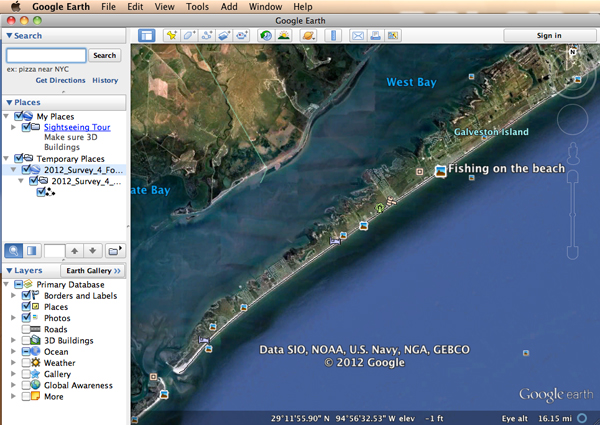
The data for this survey is available for display and review in Google Earth.
Google Earth is a free application provided by Google and is available for downloading onto your computer.
You can download and install Google Earth by clicking on the following link:
[button link=”http://www.google.com/earth/index.html” type=”icon” newwindow=”yes”] Click Here to Download Google Earth[/button]
A compressed file of the survey data can be downloaded by clicking on the following link:
[button link=”http://www.piratespoa.com/files/WGIPOA_Survey_Data_2012.zip” type=”icon” newwindow=”yes”] Click Here to Download Survey Data[/button]
After Google Earth is installed on your computer and after the survey data has been downloaded to your computer, you can open Google Earth and drag each survey file into the Google Earth application for review.
Note: Google Earth is relatively simple to use, but some questions may well arise.
However, the PPOA web site will not be able to respond to questions regarding the installation or use of Google Maps and is posting this data as a public service for all West Galveston Island property owners.
If you have questions regarding Google Earth, you will need to access the Google Earth support documentation or discuss the use of Google Earth with someone who is willing to assist you with use of that program.
If you have questions regarding the survey data itself, you can direct such questions to Jerry Mohn, President of the WGIPOA at the following email address: mohn@msn.com
