Attn: West Galveston Island Property Owners Association
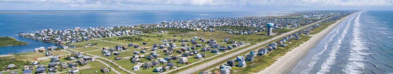
As you know the WGIPOA undertook earlier this year a survey of the west end beach from the end of the Seawall to San Luis Pass to see how the shoreline changes each year. This was precipitated with the Erosion Response Plan (ERP) the City had to submit to the GLO.
For your information, the General Land Office (GLO) requires that all coastal communities submit an Erosion Response Plan by the end of 2012. The purpose of the erosion response plan is to:
- reduce public expenditure for erosion and storm damage losses to public and private property, including public beaches
- ensure the health and stability of existing dune systems and vegetation
- encourage the natural recovery of dunes and beaches following storm induced erosion
- provide for the establishment of new dunes through restoration projects
- allow for the landward migration of beaches and dunes due to erosion
The General Land Office believes that the costs of implementation of Erosion Response Plans will be offset by a reduction in public expenditures for erosion and storm damages to private and public property.
The ERP process has been around for over two years and the WGIPOA formed in the very beginning an ERP AD Hoc Committee to monitor what the City and GLO planned. We attended and participated in all the Planning Commission and Galveston Department of Planning meetings on the ERP. The City submitted an Erosion Response Plan (See Erosion Response Plan adopted by City Council April 12, 2012) to the GLO and they established a 4 foot contour line where engineers and scientists believe vegetation will occur in building a dune system. They established this 4 foot contour line using LIDAR (Light Detection and Ranging), which is an optical remote sensing technology that can measure the distance to, or other properties of a target by illuminating the target with light, often using pulses from a laser. A surveyor advised LIDAR is not as accurate as a coastal survey since you are shooting pictures in the air at 20-25,000 feet and at 500 mph and the data could be in error by 3 meters, which could have a significant impact on the line of vegetation. In addition, the ERP has to be updated every five years and we feel if a survey is done each year before hurricane season we will have a real measure of the actual shoreline rate change.
As I mentioned above, we were concerned about the LIDAR survey the City was using for the Erosion Response Plan because of the inaccurate measurement from an airplane when compared to a measured ground survey. This could have an impact for beach lot owners in adding on, repairing, or any improvements to their home. The cost of the survey was $20,000 and we solicited contributions from individuals, organizations, and property owner associations, who contributed a total of $24,400. We had the survey done before the June 1 hurricane season from the end of the Seawall to San Luis Pass, every 1000 feet (approximately 98,000 feet), that located five data points:
- Mean Low Water (MLW) – This is the average of every low tide over a 19 year period, it denotes the seaward boundary of the wet beach
- Mean High Water (MHW) – This is the average of every high tide over a 19 year period, it denotes the landward boundary of the wet beach, the seaward boundary of the dry beach, and the boundary between the upland owner and the State of Texas submerged land.
- South Toe of Dune (STD) – This is the Southernmost toe of the dunes
- 4 foot Contour Line – This is the first occurrence of the elevation of 4.0 feet, this will be the seaward boundary of the Dune Conservation area in the new ERP
- 200 foot from MLW – This line in 200 feet landward of the MLW as described above, in the Natural Resource code this line is defined to be one of the methods to denote the line of vegetation, which is the landward boundary of the dry beach.
The sixth data point attached (TXSC Contour 4 Foot) is the LIDAR data survey by the City and you can see how much of a difference between this survey and the 4 foot contour line.
The above kml survey attachments are based on Google Earth 2010. For some strange reason the surveyor could not use Google Earth 2012 but here is the link to download Google Earth 2012, http://www.google.com/earth/
[button link=”http://www.wgipoa.com/tx/2012/09/12/how-to-access-google-earth-and-the-survey-data/” type=”icon” newwindow=”yes”] Click here for a How-to-Access Google Earth & the Survey Data[/button]
Now that we have started the survey, it will be done annually and we would make certain the cost in the future would come from the City or IDC funds or from the 4B sales tax.
The City submitted the ERP to the GLO, which they approved and it was published in the Texas Register on July 20. The public has 30 days to comment after which it becomes effective. If you would like to see what was published in the Texas Register, go to http://www.sos.state.tx.us/
We want to thank all the contributors, who are listed below*. We appreciate the outpouring of support from individuals, organizations, and property owner associations. We now have a basis for measurement of erosion rates and vegetation lines.
We thank former Mayor Joe Jaworski for his support during this time and we also thank current Mayor Lewis Rosen, who attended many of our meetings in learning and understanding the ERP. We thank former District 6 City Council Member, Dianna Puccetti, for her support during this period and we also thank current District 6 City Council Member Marie Robb in her support, due diligence, and understanding of the survey (she was an original member of the Committee and the first contributor to the survey fund).
I also want to thank all the members of the ERP Ad Hoc Committee who spent countless hours for well over two years in addressing the issues and concerns with the various stages of the ERP and I believe we did represent the property owner’s best interest with the final ERP. This was a true success and team effort of the WGIPOA.
Thanks again and please let me know if you have any questions or where I can be assistance.
Jerry
*Contributors
Corporations
Silver Leaf Resorts
Sand ‘N Sea
Individuals:
Marie Robb
Marty Bilek
Bob White
Property Owner Associations:
Beach Side Village POA
Bermuda Beach
5500 POA
Kahala Beach
Karankawa Beach Neighbors
Pirates POA
Riviera II Condo
Sand Hill Shores
Seascape
Spanish Grant Beach POA
Sunny Beach Neighbors
Terramar POA
West Beach Grand Condo